Integrated Geological Study: A Footing for Urban Area Development
MINISTRY OF ENERGY AND MINERAL RESOURCES
REPUBLIC OF INDONESIA
PRESS RELEASE
NUMBER: 676.Pers/04/SJI/2019
Date: 26 November 2019
Integrated Geological Study: A Footing for Urban Area Development
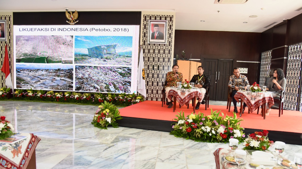
Indonesia's large cities are rapidly growing, both vertically and horizontally. The rapid growth is marked with the emergence of skyscrapers, bridges, roads as well as other strategic infrastructure. However, are these cities ready to face geological hazards? History records heavy casualties, property loss, and destroyed buildings and infrastructure caused by geological disasters. The wider community needs to be prepared and to make mitigation efforts, for example by equipping themselves with spatial information of geological data, both geological resources and geological hazards, as the basis for the spatial layout of a city according to its physical and socio-economic aspects.
"The Geological Agency program of Integrated Geological Study is aimed to comprehensively present geological information as a reference for the urban development of a certain area, for example the Jabodetabek Punjur and the Bandung Basin areas, carried out in 2019. These areas are selected because of their dense population," said a member of the Environmental Geology Survey Team, Geological Agency, Ministry of EMR, Rustam, Thursday (21/11).
This Integrated Geological Study prepared by the Geological Agency will be made a reference by the stakeholders to formulate strategic plans of urban development. "This Geological Study offers the benefit as the base data for spatial layout and urban development, provides input for spatial planning, both the Master Spatial Plan (RTRW) and Detailed Spatial Plan (RDTR), and as evaluation material of spatial planning particularly in relation to geological aspects," Rustam explained.
The Study was developed by making overlapping analyses to the thematic maps of geological resource factors and geological challenges, which produced land suitability maps. These maps were then integrated with the selected thematic maps. Finally, the integrated maps were used to provide recommendations for regional development.
Integrated Geological Study of Jabodetabek Punjur and Bandung Basin
Jabodetabek Punjur is an area that is built from the upstream to the downstream, both vertically and horizontally. Therefore, the disaster potentials in this area require special attention. The same goes with Bandung Basin: as an area that still continues to grow, Bandung Basin poses constructional challenges because it holds disaster potentials.
To answer this development, the Geological Agency through its main units carried out the Integrated Geological Study at Jabodetabek Punjur and Bandung Basin areas. The final product of the Study is Land Suitability Maps that can be used as a reference or input by the stakeholders to develop cities in the study areas.
Following is the results of the thematic analyses of Jabodetabekpunjur and Bandung Basin made by the Environmental Geology Survey Team of the Geological Agency:
JABODETABEKPUNJUR
-According to Technical Geology analysis, the highest land subsidence rate occurs in Pluit and Cilincing areas.
-Subsurface Geophysical Analysis indicates the existence of Baribis Fault located to the south of Jabodetabek, plus Cisadane and Bekasi Faults.
-Land subsidence in North Jakarta is triggered by over-extraction of deep groundwater and loading. Land subsidence also occurs naturally due to compaction of unconsolidated sediment.
-According to Microzonation Mapping; the depth of depressions in Jakarta area is quite large, between 400 meters and 1600 meters. Such deep depressions show thick sediment beneath Jakarta area. Thick sediment can strengthen earthquake shock, in particular to buildings with long period such as the tall buildings built in Jakarta.
-Seismotectonic mapping can predict the existence of active and potential faults such as Baribis, Cisadane, and Bekasi Faults.
Bandung Basin
-According to site indication and geoelectric and gravity estimation, there are 6 fault lines, namely Lembang, Cileunyi-Tanjungsari, Cicalengka, Gunung Geulis, Jati, and Legok Kole Faults.
-According to cone penetration test (sondir) analysis at 1 m-10 m deep at Gedebage area and Tegalluar New City Plan, soil consistency value is low with cone point resistance (qc) < 5 kg/cm2.
-According to microzonation, the area belongs to Class E (Vs30=175 m/s) which is vulnerable to severe damage if it is hit by an earthquake. Therefore, construction of vital infrastructure such as government offices, schools, etc. is not advisable. If one insists on constructing a building, the structure must be earthquake-resistant (SNI 1726-2012). Existing buildings not meeting with the SNI 1726-2012 requirement must be reinforced (retrofitting). (IY).
Head of Bureau of Communication, Public Information Services, and Cooperation
Agung Pribadi (08112213555)
Share This!
Recent News
-

Menteri Bahlil Percepat Proyek Masela, Konstruksi Dimulai pada 2027
Thursday, 25 June 2026
-

Tidak terkecuali disektor hulu minyak dan gas bumi juga menjadi salah ...
Thursday, 25 June 2026
-

Kementerian ESDM Belum Putuskan Besaran RKAB Nikel 2026
Thursday, 25 June 2026
-

Gandeng Akademisi, Kementerian ESDM Perkuat Kajian Tata Kelola WIUP Bl...
Thursday, 25 June 2026
-

Seruni Kabinet Merah Putih Gelar Bakti Sosial di Kupang NTT
Tuesday, 23 June 2026
-

Cegah Pemadaman Berulang, Menteri Bahlil Minta PLN Perkuat Mitigasi
Saturday, 20 June 2026
Menteri Bahlil Percepat Proyek Masela, Konstruksi Dimulai pada 2027
Thursday, 25 June 2026
Tidak terkecuali disektor hulu minyak dan gas bumi juga menjadi salah ...
Thursday, 25 June 2026
Kementerian ESDM Belum Putuskan Besaran RKAB Nikel 2026
Thursday, 25 June 2026
Gandeng Akademisi, Kementerian ESDM Perkuat Kajian Tata Kelola WIUP Bl...
Thursday, 25 June 2026
Seruni Kabinet Merah Putih Gelar Bakti Sosial di Kupang NTT
Tuesday, 23 June 2026