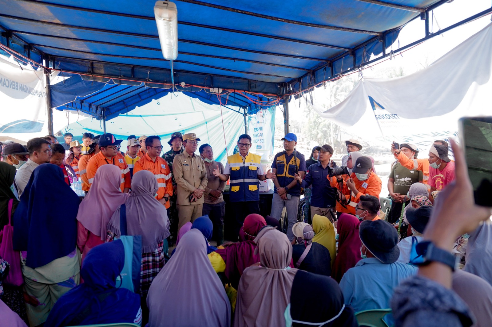
Geological Agency: Comprehensive Study Determines Relocation of Villages Buried by Semeru Eruption
MINISTRY OF ENERGY AND MINERAL RESOURCES
REPUBLIC OF INDONESIA
PRESS RELEASE
NUMBER: 444.Pers/04/SJI/2021
Date: 9 December 2021
Geological Agency: Comprehensive Study Determines Relocation of Villages Buried by Semeru Eruption
The Geological Agency of the Ministry of Energy and Mineral Resources (EMR) will conduct a comprehensive study to determine the possibility of developing an area to relocate villages buried by the eruption of Mount Semeru.
"Mapping of geological, morphology, river, and groundwater condition must be done thoroughly. A team from the Geological Agency will go to an area to map and identify safe locations for future use. The locations we propose must meet the standards for a village, not only for for the time being but also for a very long time, far into the future. So, accuracy and caution are essential," said Secretary of the Geological Agency, Ediar Usman, in a press conference "Updates on the Post-eruption Condition of Mount Semeru" held on Thursday (9/12).
In a similar vein, Head of Center for Volcanology and Mitigation of Geological Hazards (PVMBG), Andiani, said that determining a relocation site would require the existence of water resources, not only the safety aspect.
"The relocation site should be free from hazards, and it should also have water resources. So, we don't want people to despair after being relocated there (to the new location), or move back to the old (village), because there is no water. The study has to be comprehensive. It has to consider the long-term condition," said Andiani.
On the same occasion, Andiani also gave an update on Mount Semeru eruption. Based on monitoring results on Thursday between midnight and 12 noon Western Indonesian Time (WIB), gas was seen rising 500-1,000 meters above the crater. There were 14 gust earthquakes, 7 avalanche earthquakes, and 2 distant tectonic earthquakes.
The weather tends to be foggy near the crater so that the direction and distance of avalanches cannot be observed. Last night, an avalanche streamed down 700 meters southeast from the crater.
"Today there has been no pyroclastic flows. From December 5 to December 9 noon, there were 8 pyroclastic flows with a maximum flow distance of 3,000 meters to the southeast. Mount Semeru's activity level is at level 2 or ALERT. We recommend that people do not carry out activities at a radius of 1 kilometer from the crater, 5 kilometers in the southeast and south sectors, and along rivers that have their headwaters in the crater area," Andiani added.
Residents are also advised to not do any activities and stay away from affected areas to avoid secondary eruptions and rock deposits, which are still hot. Additionally, there is still the potential for lahar because the rainy season will still continue until early 2022.
To avoid hoaxes and fake news about Mount Semeru eruption, please access MAGMA Indonesia website (magma.vsi.esdm.go.id), PVMBG official website (vsi.esdm.go.id), and PVMBG social media (Facebook, Twitter, and Instagram pvmbg_). (IY)
Head of Bureau of Communication, Public Information Services, and Cooperation
Agung
Pribadi (08112213555)
Share This!

