Energy Ministry Determines 20 Geoheritage Sites in Yogyakarta
MINISTRY OF ENERGY AND MINERAL RESOURCES
PRESS RELEASE
NUMBER: 137.Pers/04/SJI/2021
Date: 22 April 2021
Energy Ministry Determines 20 Geoheritage Sites in Yogyakarta
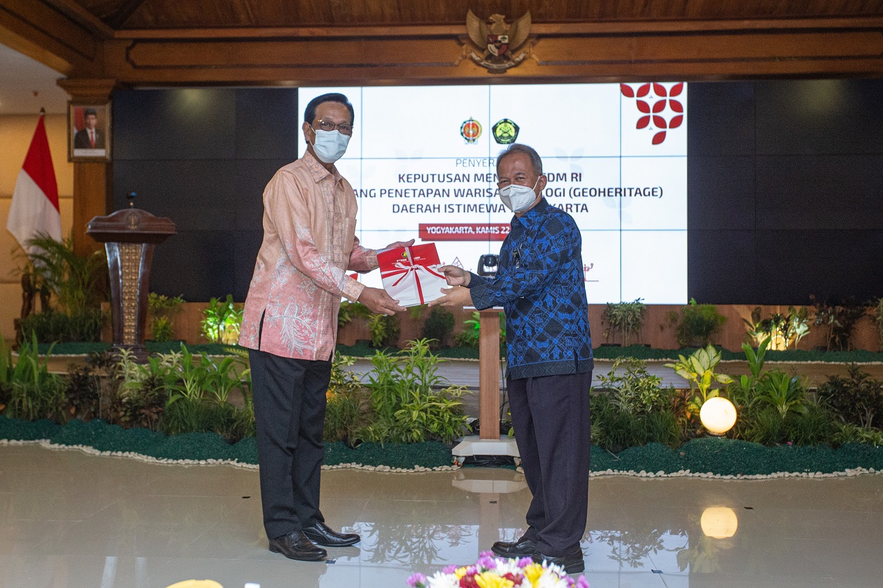
The Indonesian Ministry of Energy and Mineral Resources (EMR) has determined 20 geoheritage sites in the Special Region of Yogyakarta (DIY), which are located in Kulonprogo, Sleman, Bantul, and Gunung Kidul regencies. Decision of Minister of Energy and Mineral Resources Number 13.K/HK.1/MEM.G/2021 on the Geological Heritage (Geoheritage) of the Special Region of Yogyakarta was presented to Governor of Yogyakarta on Thursday (22/4).
"DIY has unique and diverse geological conditions because the province has mountainous terrain in the north region and beaches in the south. This is evident from the various geological features proposed as Geological Heritage Sites," said Minister of EMR, Arifin Tasrif, in a speech delivered during a virtual handover ceremony.
Based on notable geological components and criteria set by the Geological Agency, the twenty Geological Heritage sites have been ranked as follows:
1. 10 sites are determined as Local Geological Heritage;
2. 9 sites are determined as National Geological Heritage; and
3. 1 location is determined as International Geological Heritage.
After the determination, it is necessary to preserve and protect the sites. Additionally, the geoheritage sites can be used for research, geo-education, and geotourism. Thus, these sites will support education development and increase the economy of the surrounding community.
"Hopefully the geoheritage sites can be developed with a concept of sustainable development, and be used as geo-natural laboratories, for geo-research and education as well as geo-tourism development so that they impact directly on the economy of the local community," Arifin concluded.
Governor of Yogyakarta, Sri Sultan Hamengkubuwono X, expressed his gratitude for the determination of 20 geoheritage sites in his province. Sri Sultan is committed to protecting and developing all geoheritage sites.
"I'd like to express my deep gratitude and high appreciation for the determination. Geoheritage sites, which have been determined in Kulonprogo, Sleman, Bantul, and Gunung Kidul regencies, are in accordance with the geoheritage sites distribution map of DIY. If I may say, this recognition brings a consequence for us, that is, we must fully be committed to protecting, maintaining, and developing the geoheritage sites to become a pilot geopark," said Sri Sultan.
On the same occasion, Head of the Geological Agency, Eko Budi Lelono, said there were two key issues that followed the determination, namely the use of science and the economic growth in DIY.
"First, from the point of view of science, students will be able to learn about accient geological processes. Second, from economic point of view, these geological sites can be used for tourism sites, for example, so these sites can improve Yogyakarta's economy," said Eko.
Eko hopes the Yogyakarta government can ensure that the 20 geoheritage sites are included in the regional Spatial Planning (RTRW). This way, the geoheritage sites can be protected and used for regional economic growth.
Under Law Number 23 of 2014 on Regional Governance, the determination of geological heritage falls under the authority of the central government, in this case, Minister of Energy and Mineral Resources. The provision is further explained in Regulation of Minister of Energy and Mineral Resources Number 01 of 2020. Thus, determination of the geoheritage sites of Yogyakarta province has gone through the stages of identification, verification, focus group discussion, and drafting of ministerial decision.
The 20 geoheritage sites are located in Kulon Progo Regency (5 sites), Sleman Regency (7 sites), Bantul Regency (3 sites), and Gunungkidul Regency (5 sites), with the following details:
1. Peak of the Kendil-Suroloyo Ancient Caldera Cliff, in Kapanewon Samigaluh, Kulon Progo Regency;
2. Geological Structure Origin Hills of Widosari, in Kapanewon Samigaluh, Kulon Progo Regency;
3. Nanggulan Eocene Formation, in Kapanewon Kalibawang, Kulon Progo Regency;
4. Kiskendo Cave, in Kapanewon Girimulyo, Kulon Progo Regency;
5. Kliripan-Karangsari Manganese site, in Kapanewon Kokap, Kulon Progo Regency;
6. Godean Intrusion Hills Complex, in Kapanewon Godean, Sleman Regency;
7. Old Merapi Rock Complex of Turgo-Plawangan Pakem, in Kapanewon Pakem, Sleman Regency;
8. Bakalan Pyroclastic Flow, in Kapanewon Cangkringan, Sleman Regency;
9. Ancient Pyroclastic Breccia Cliff of Sambirejo, in Kapanewon Prambanan, Sleman Regency;
10. Ngelepen Soil Creep, in Kapanewon Prambanan, Sleman Regency;
11. Berbah Lava Pillow, in Kapanewon Berbah, Sleman Regency;
12. Eocene Limestone, in Kapanewon Gamping, Sleman Regency;
13. Opak Fault Bukit Mengger, in Kapanewon Jetis and Pleret, Bantul Regency;
14. Mangunan Ancient Lava, in Kapanewon Dlingo, Bantul Regency;
15. Parangtritis Sand Dunes, in Kapanewon Kretek, Bantul Regency;
16. Mount Ireng Pengkok, Kapanewon Patuk, Gunungkidul Regency;
17. Nglanggeran Ancient Volcano, Kapanewon Patuk, Gunungkidul Regency;
18. Gunung Genthong Gedangsari, Kapanewon Gedangsari, Gunungkidul Regency;
19. Kali Ngalang Bioturbation, Kapanewon Gedangsari, Gunungkidul Regency; and
20. Siung-Batur-Wediombo Ancient Volcano, Kapanewon Girisubo, Gunungkidul Regency. (IY)
Head of Bureau of Communication, Public Information Services, and Cooperation
Agung Pribadi (08112213555)
Share This!
Recent News
-

B50 Diluncurkan, Pemerintah Targetkan Hemat Devisa Rp170 Triliun dan S...
Friday, 10 July 2026
-

Luncurkan Mandatori B50, ESDM Tegaskan Kesiapan Indonesia Perkuat Keda...
Thursday, 9 July 2026
-

Ditjen Gakkum ESDM Cari Pemilik Sah Kapal KM JOI I, Klarifikasi Dibuka...
Wednesday, 8 July 2026
-

Menteri ESDM Dampingi Presiden Prabowo Terima Kunjungan PM Modi
Tuesday, 7 July 2026
-

Ekspor Listrik ke Singapura, Menteri ESDM Tegaskan Harus Saling Mengun...
Tuesday, 7 July 2026
-

Jaga Daya Beli, Menteri ESDM: Tarif Listrik Tidak Naik
Tuesday, 30 June 2026
B50 Diluncurkan, Pemerintah Targetkan Hemat Devisa Rp170 Triliun dan S...
Friday, 10 July 2026
Luncurkan Mandatori B50, ESDM Tegaskan Kesiapan Indonesia Perkuat Keda...
Thursday, 9 July 2026
Ditjen Gakkum ESDM Cari Pemilik Sah Kapal KM JOI I, Klarifikasi Dibuka...
Wednesday, 8 July 2026
Menteri ESDM Dampingi Presiden Prabowo Terima Kunjungan PM Modi
Tuesday, 7 July 2026
Ekspor Listrik ke Singapura, Menteri ESDM Tegaskan Harus Saling Mengun...
Tuesday, 7 July 2026